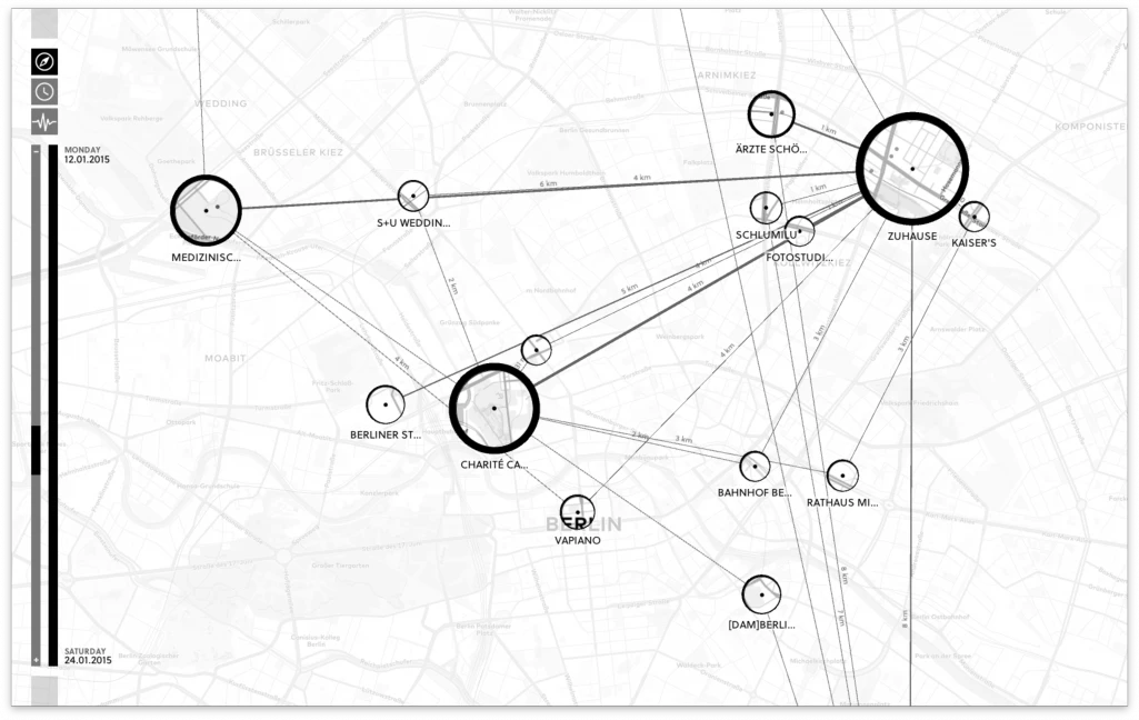
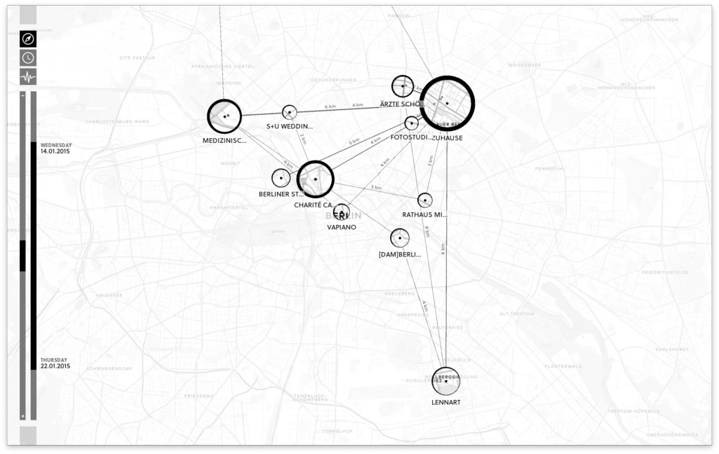
Are there networks in maps? Shifted Maps visualizes personal movement data as a network of map extracts showing visited places. The geographic map dissolves and creates a flexible network layout, which reveals unique movement structures based on geographic positions, travel time or travel frequency.
Shifted Maps proposes a novel visualization method to generate personal geovisualizations of individual movement data. The resulting visual appearance can be characterized as a map network consisting of visited places and their connections. The visited places are shown as circular map extracts scaled according to the time spent there and the movements between the places are represented as edges between the places. A key feature of the Shifted Maps visualization is the possibility to explore the data in three different arrangements based on geo-spatial position, travel time, and frequency of movements. By combining map and network visualizations of movement data, it becomes possible to analyze and compare spatial and temporal topologies.

