Unfolding A library for interactive maps
Unfolding is a library to create interactive maps and geovisualizations in Processing and Java.
Visualizing data with geo-spatial properties has become more important and prevalent due to the wide spread dissemination of devices, sensors, databases, and services with references to the physical world. Yet, with existing tools it is often difficult to create interactive geovisualizations tailored for a particular domain or a specific data set. We developed Unfolding, a library for interactive maps and data visualization. Unfolding provides an API for designers to quickly create and customize geo-visualizations.
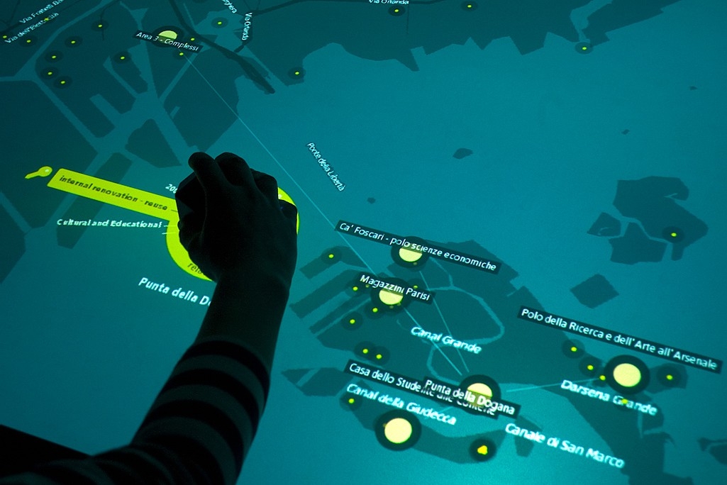
Venice Unfolding · A tangible geo-visualization to explore architectural projects in Venice — Interaction Design Lab, FH Potsdam
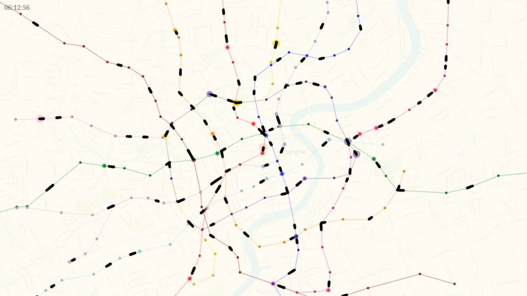
Shanghai Metro Flow · A visualization of Shanghai’s subway network — Till Nagel · Benedikt Groß
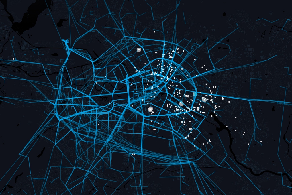
Cab Rides · Visualizes taxi trips in Berlin — Jakob Flemming · Jordi Tost · Julian Braun · Lars Kreuzmann
Publications Associated Publications
Unfolding — A Library for Interactive Maps
Visualizing data with geo-spatial properties has become more important and prevalent due to the wide spread dissemination of devices, sensors, databases, and services with references to the physical world. Yet, with existing tools it is often difficult to create interactive geovisualizations tailored for a particular domain or a specific dataset. We present Unfolding, a library for interactive maps and data visualization. Unfolding provides an API for designers to quickly create and customize geo-visualizations. In this paper, we describe the design criteria, the development process, and the functionalities of Unfolding. We demonstrate its versatility in use through a collection of examples. Results from a user survey suggests programmers find the library easy to learn and to use.
Expand
Unfolding — A Simple Library for Interactive Maps and Geovisualizations in Processing
Many thematic maps and geovisualizations nowadays are being created by designers, journalists, and other non cartographers. Yet, with existing tools it is often difficult to create interactive data visualizations tailored for a particular domain or a specific dataset. We present Unfolding, a library to simplify the creation of interactive maps and geovisualizations. Unfolding provides an API to quickly create and customize visualization applications. In this paper, we introduce the design and functionality of our library. We demonstrate its usability through a collection of examples, and confirm the apparent need of such map library by describing its acceptance in the community.
Expand